BWCA
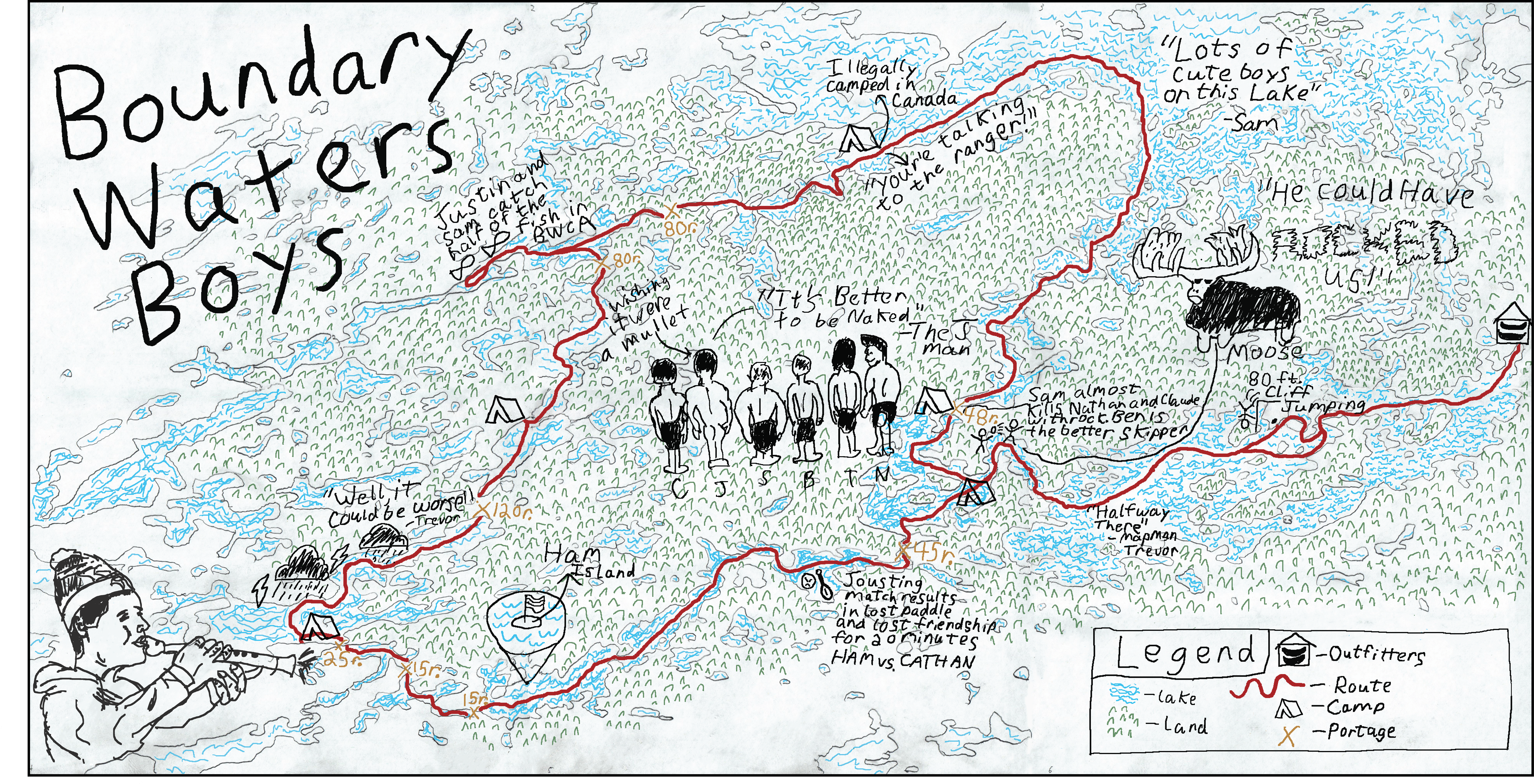
In the summer of 2016 my roommates and I took a trip to the boundary waters canoe area in northern Minnesota. We left our phones in the car and canoed and portaged between lakes for six days using a map and compass for navigation. During our trip we tracked our route and doodled events that happened along the way. I wanted to create the rest of the map in the style of the original doodles and this was the result. To recreate this map digitally I scanned the original paper map and projected it onto sheets of paper on a wall which I traced over. I also traced over many of the doodles digitally to include in the final product.